San Francisco International Airport (SFO)
Orientation and Maps
(San Francisco, California (CA), USA)
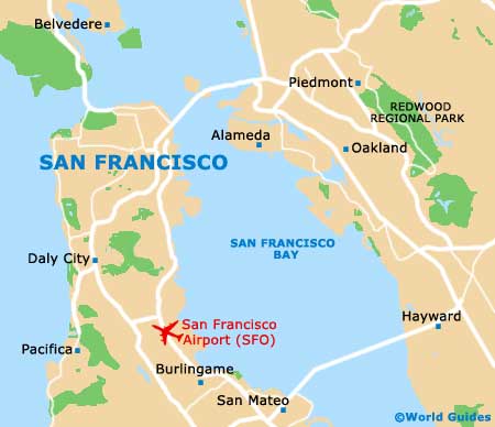
Located at the end of a 30-mile / 48-km peninsula, the city of San Francisco stands next to the Pacific Ocean, which lies to the west. On the eastern side of the city, the San Francisco Bay dominates the area, being crossed by the Bay Bridge (I-80 interstate), which links the Yerba Buena Island to the northeast, and mainland Oakland.
To the south of the city center and next to the US-101 highway (Bayshore Freeway), San Francisco International Airport (SFO) services many of the major domestic and international airlines. Within the city, the Transbay Terminal is an important bus station and can be found along Mission Street and features routes to much of the city. Further buses are operated by AC Transit, Golden Gate Transit and SamTrans. Those looking for long-distance buses will find plenty of Greyhound buses, traveling to Lake Tahoe and Los Angeles, amongst other cities.
San Francisco International Airport (SFO) Maps: Important City Districts
The downtown district is within comfortable driving distance of SFO parking lots, being edged by the Van Ness Avenue, Market Street and also San Francisco Bay. Within this part of the city, the Financial District, the Civic Center and Chinatown are amongst the highlights. A particularly fashionable area of the city is the South of the Market District, known locally as 'SoMa' and close to a number of waterfront restaurants.
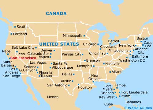
Close to SoMa, the Mission district is home to the main Latino community and is close to the Castro, where San Francisco's gay community resides. Other notable districts and areas of the city include Haight-Ashbury, on the eastern side of the Golden Gate Park, Nob Hill / Russian Hill, known for its high-rise buildings and offices, and Fisherman's Wharf, once the true heart of the city's harbor. Further afield are many leading Californian destinations, including the likes of
Carmel,
Monterey,
Oakland, the
Napa Valley and
San Jose, and to the south, both
Santa Barbara and
Los Angeles are within driving distance, with journey times of between six and seven hours respectively.
USA Map
California Map

San Francisco Map